Louisville, Kentucky, USA Vector Map - Stockillustratie
Topographic / Road map of Louisville, KY, USA. Original map data is open data via © OpenStreetMap contributors. All maps are layered and easy to edit. Roads have editable stroke.

Bestel uw ingelijste foto direct en bekijk de diverse opties op Photos.com.
LICENTIE KOPEN
Alle royalty free licenties bieden wereldwijde gebruiksrechten en uitgebreide bescherming. Daarnaast zijn er eenvoudige tarieven met volumekortingen beschikbaar.
€ 335,00
EUR
Getty ImagesLouisville Kentucky Usa Vector Map, Stockfoto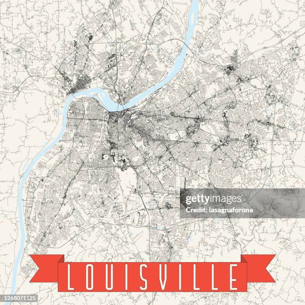 Download premium, authentieke Louisville, Kentucky, USA Vector Map stockillustraties van Getty Images. Verken vergelijkbare stockillustraties met hoge resolutie in onze uitgebreide visuele catalogus.Product #:1268071125
Download premium, authentieke Louisville, Kentucky, USA Vector Map stockillustraties van Getty Images. Verken vergelijkbare stockillustraties met hoge resolutie in onze uitgebreide visuele catalogus.Product #:1268071125€335€50
Getty Images
In stockGEGEVENS
Credits:
Creatief nr.:
1268071125
Soort licentie:
Collectie:
DigitalVision Vectors
Max. bestandsgrootte:
4000 x 4000 px (33,87 x 33,87 cm) - 300 dpi - 28 MB
Datum van uploaden:
Locatie:
United States
Release-informatie:
Geen release vereist
Categorieën:
- Louisville - Kentucky,
- Skyline,
- Abstract,
- Amerikaanse staatsgrens,
- Architectuur,
- Binnenstad,
- Cartografie,
- Churchill Downs,
- Diagram,
- Eenvoud,
- Eén lijn,
- Fysische geografie,
- Honkbal - Teamsport,
- Illustratie,
- Indiana,
- Kaart,
- Kentucky,
- Kleurenfoto,
- Line art,
- Luchtfoto,
- Modern,
- Muhammad Ali Center,
- Noord- & Zuid-Amerika,
- Noord-Amerika,
- Omtrek,
- Ontwerp,
- Projection mapping,
- Reisbestemmingen,
- Reizen,
- Rivier,
- Slugger,
- Stad,
- Stadsbeeld,
- Stadsleven,
- Stadsplattegrond,
- Stadsstraat,
- Stadsweg,
- Straat,
- Toerisme,
- Topografie,
- Topografische kaart,
- Vakantie,
- Vectorafbeelding,
- Verenigde Staten,
- Vierkant - Compositie,
- Water,
- Weg,
- Zonder mensen,