Antique map of France - Stockillustratie
Vintage map of the France in 1861
[b]View More:[/b]
[url=http://www.istockphoto.com/file_search.php?action=file&lightboxID=9145610][img]http://www.walker1890.co.uk/istock/istock-map.jpg[/img][/url]

Bestel uw ingelijste foto direct en bekijk de diverse opties op Photos.com.
LICENTIE KOPEN
Alle royalty free licenties bieden wereldwijde gebruiksrechten en uitgebreide bescherming. Daarnaast zijn er eenvoudige tarieven met volumekortingen beschikbaar.
€ 335,00
EUR
Getty ImagesAntique Map Of France, Stockfoto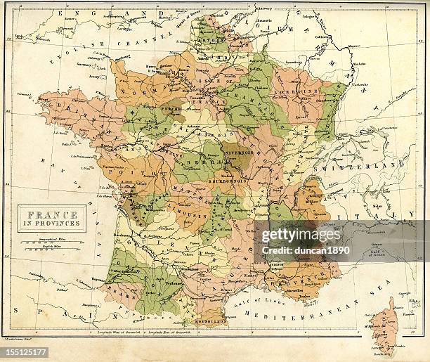 Download premium, authentieke Antique map of France stockillustraties van Getty Images. Verken vergelijkbare stockillustraties met hoge resolutie in onze uitgebreide visuele catalogus.Product #:155125177
Download premium, authentieke Antique map of France stockillustraties van Getty Images. Verken vergelijkbare stockillustraties met hoge resolutie in onze uitgebreide visuele catalogus.Product #:155125177€335€50
Getty Images
In stockGEGEVENS
Credits:
Creatief nr.:
155125177
Soort licentie:
Collectie:
DigitalVision Vectors
Max. bestandsgrootte:
4962 x 4175 px (42,01 x 35,35 cm) - 300 dpi - 22 MB
Datum van uploaden:
Release-informatie:
Model en property release
Categorieën:
- Kaart,
- Frankrijk,
- Bourgondië - Frankrijk,
- Normandië,
- Auvergne,
- Bretagne - Frankrijk,
- Verouderd,
- Champagne-streek,
- Ouderwets,
- 1860-1869,
- 19e eeuw,
- 19e-eeuwse stijl,
- Antiek - Ouderwets,
- Apparatuur,
- Aquitanië,
- Centraal-Europa,
- Corsica,
- Culturen,
- Elzas-Lotharingen,
- Europa - Geografische locatie,
- Europese cultuur,
- Fotografie,
- Franche-Comté,
- Franse cultuur,
- Gascogne,
- Geschiedenis,
- Het verleden,
- Horizontaal,
- Kleurenfoto,
- Landkaart,
- Languedoc-Roussillon,
- Limousin - Frankrijk,
- Loire vallei,
- Lotharingen,
- Midi-Pyrénées,
- Navigatieapparatuur,
- Nord-Pas-de-Calais,
- Pays-de-la-Loire,
- Picardië,
- Poitou-Charentes,
- Provence-Alpes-Côte d'Azur,
- Rhône vallei,
- Rhône-Alpes,
- Victoriaanse stijl,
- Île-de-France,