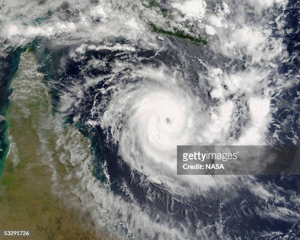
File hand-out photo shows tropical cyclone Ingrid as it approaches Cape York Peninsula, Australia as pictured by the MODIS Terra at 0030GMT on March...
stockillustraties, clipart, cartoons en iconen met part 1 of 3. user interface flat icons. fill black style. - weather map
This 01 December file photo released 05 December by the Jet Propulsion Laboratory shows an image of the Pacific Ocean taken by the US/French...
stockillustraties, clipart, cartoons en iconen met part 2 of 4. user interface line icons. editable stroke. - weather map
stockillustraties, clipart, cartoons en iconen met warning & danger - pixel perfect line icon set, editable stroke weight. - weather map
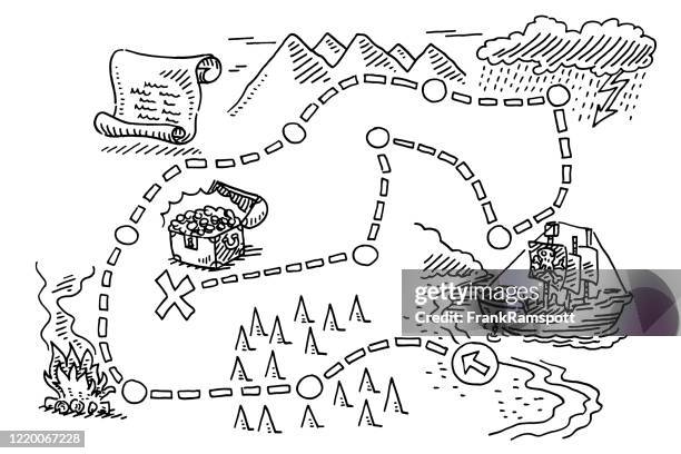
stockillustraties, clipart, cartoons en iconen met zeer gedetailleerde wereld kaart met natuurrampen iconen en gradiënt achtergrond - weather map
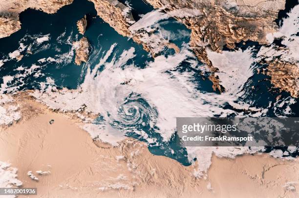
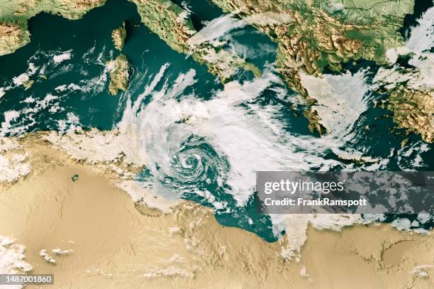
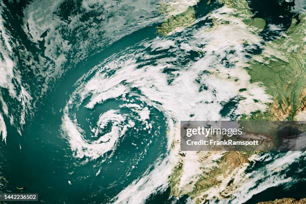
cyclone helios 2023 cloud map mediterranean sea 3d render neutral - weather map stockfoto's en -beelden
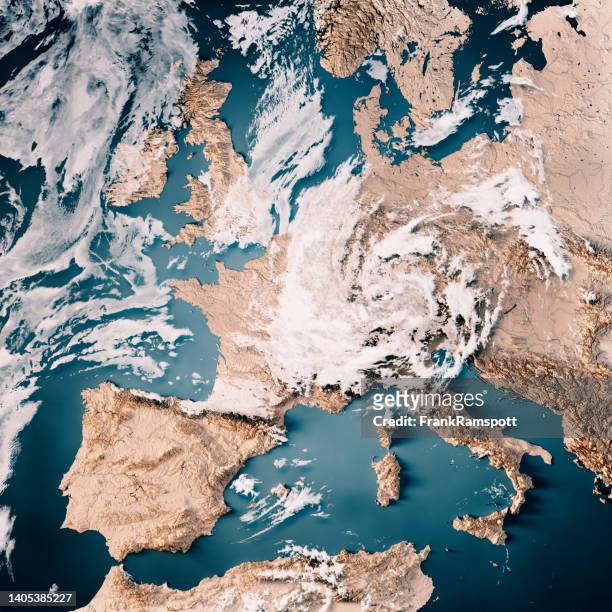
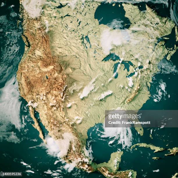
western europe cloud map 15th of july 2021 flooding 3d render neutral - weather map stockfoto's en -beelden
cyclone helios 2023 cloud map mediterranean sea 3d render color - weather map stockfoto's en -beelden
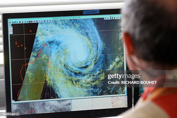
Man looks at a weather map, on January 2, 2013 at Meteo France local headquarters in Saint-Denis de la Reunion, a French island located in the Indian...
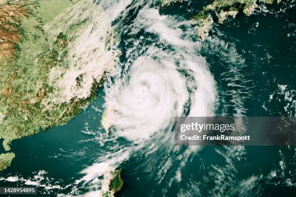
typhoon hinnamnor 2022 cloud map east china sea 3d render color - weather map stockfoto's en -beelden
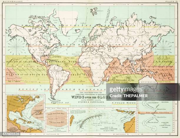
stockillustraties, clipart, cartoons en iconen met antieke wind nam kaart op oud document toe - weather map
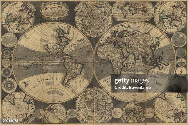
New and correct map of the world : laid down according to the newest observations & discoveries in several different projections including the trade...
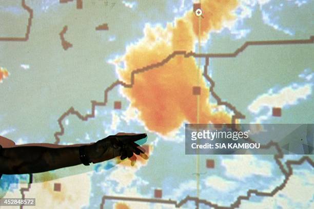
Member of Burkina Faso's crisis centre for the crash of the Air Algerie flight AH5017 points to a weather map on a screen on July 28, 2014 in the...
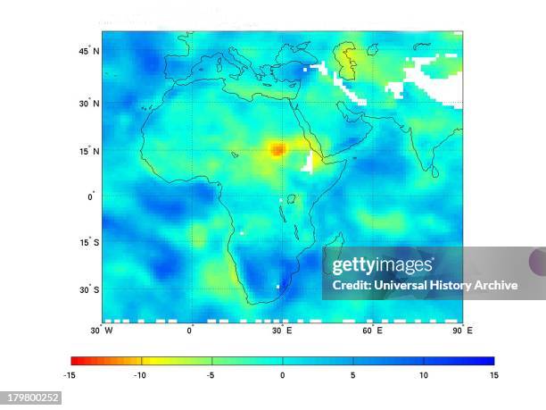
Northeast Africa continues to reel from the effects of the worst drought to strike the region in decades.The dry conditions are illustrated in this...
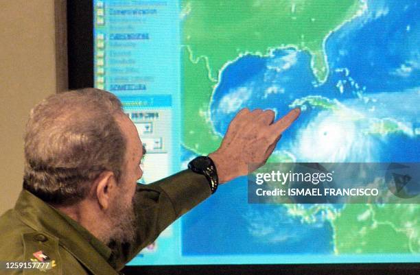
Cuban President Fidel Castro explains on an electronic display of the map of the Caribbean the possible trajectories of Hurrican Ivan as it...
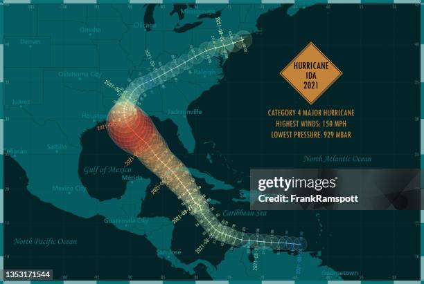
stockillustraties, clipart, cartoons en iconen met hurricane ida 2021 track map caribbean sea infographic - weather map
stockillustraties, clipart, cartoons en iconen met wereldbol-en communicatielijn pictogrammen. bewerkbare lijn. pixel perfect. voor mobiel en internet. bevat iconen als globe, map, navigatie, global business, global communication. - weather map
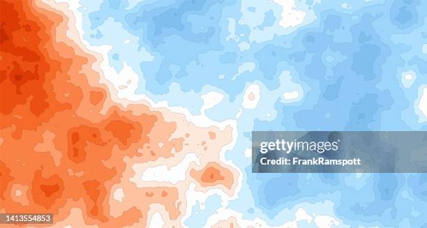
stockillustraties, clipart, cartoons en iconen met generic heat cold temperature map 253 - weather map
stockillustraties, clipart, cartoons en iconen met affordable local travel icons, editable stroke. contain icon as navigation, tourism, map, camping, direction - weather map
British meteorologist and BBC weatherman Jim Bacon attaches magnetic weather symbols to a map of the United Kingdom prior to a weather broadcast on...
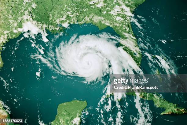
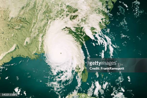
hurricane michael 2018 cloud map gulf of mexico 3d render color - weather map stockfoto's en -beelden
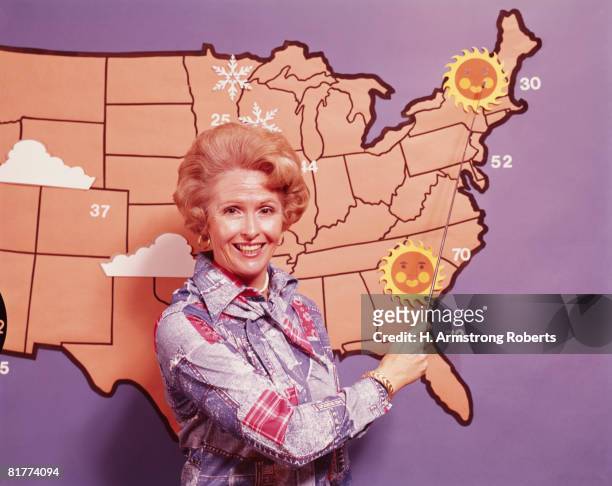
female meteorologist standing in front of map of united states. (photo by h. armstrong roberts/retrofile/getty images) - weather map stockfoto's en -beelden
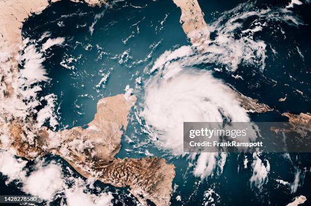
hurricane lee 2023 cloud map north atlantic ocean 3d render color - weather map stockfoto's en -beelden
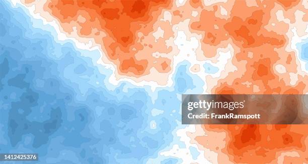
stockillustraties, clipart, cartoons en iconen met generic heat cold temperature map 103 - weather map
stockillustraties, clipart, cartoons en iconen met generic heat cold temperature map 86 - weather map
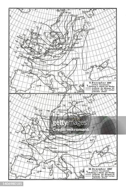
old chromolithograph map of weather maps (december 9, 1887 and december 10, 1887) - weather map stockfoto's en -beelden
stockillustraties, clipart, cartoons en iconen met warning & danger - pixel perfect blue line icons - weather map
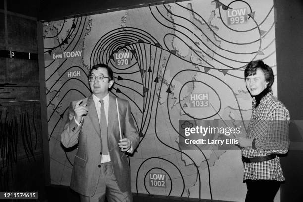
British television weather reporter Ian McCaskill and Mandy Preedy pose in front of the BBC weather map, United Kingdom, 8th January 1985.
Meteorologist Barbara Edwards pictured in front of an isobar map as she reads the weather for broadcast at BBC Television Centre, London, July 30th...