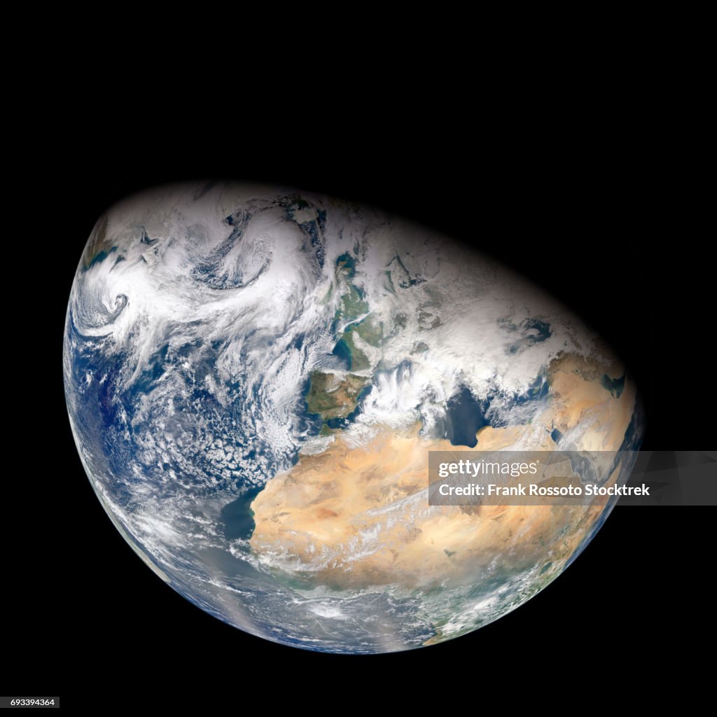
North Africa and Europe from Suomi NPP - Stockfoto
Over a period of six orbits on on February 3, 2012, the recently launched Suomi NPP satellite provided the Visible Infrared Imaging Radiometer Suite (VIIRS) instrument enough time to gather the pixels for this synthesized view of Earth showing North Africa and southwestern Europe.

Bestel uw ingelijste foto direct en bekijk de diverse opties op Photos.com.
LICENTIE KOPEN
Alle royalty free licenties bieden wereldwijde gebruiksrechten en uitgebreide bescherming. Daarnaast zijn er eenvoudige tarieven met volumekortingen beschikbaar.
€ 475,00
EUR
GEGEVENS
Credits:
Creatief nr.:
693394364
Soort licentie:
Collectie:
Photodisc
Max. bestandsgrootte:
7071 x 7071 px (59,87 x 59,87 cm) - 300 dpi - 15 MB
Datum van uploaden:
Locatie:
United States
Release-informatie:
Geen release vereist
Categorieën:
- Astronomie,
- Blauw,
- Buitenopname,
- Continent - Geografisch gebied,
- De ruimte en astronomie,
- Donker,
- Etherisch,
- Fotografie,
- Idee,
- Inspiratie,
- Kleurenfoto,
- Levendige kleur,
- Majestueus,
- Nacht,
- Natuurlijk patroon,
- Ontzag,
- Planeet Aarde,
- Ruimte-exploratie,
- Satelliet,
- Satellietfoto,
- Schoonheid,
- Ster,
- Verlicht,
- Vierkant - Compositie,
- Zonder mensen,
- Zwarte kleur,