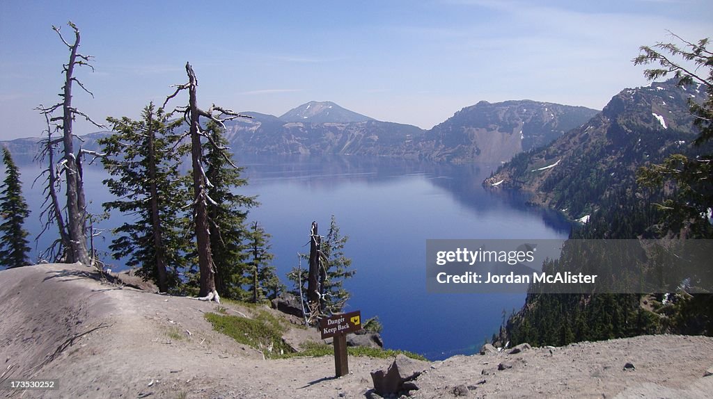
Crater Lake National Park (Klamath County, Oregon)
[UNVERIFIED CONTENT] Crater Lake National Park is located in southern Oregon's Klamath County. Established in 1902, Crater Lake National Park is the fifth oldest national park in the United States and the only one in the state of Oregon. The park encompasses the caldera of Crater Lake, a remnant of a destroyed volcano, Mount Mazama, and the surrounding hills and forests. The lake is 1,943 feet deep at its deepest point, which makes it the deepest lake in the United States, the second deepest in North America and the ninth deepest in the world. The impressive average depth of this volcanic lake is due to the nearly symmetrical 4,000-foot deep caldera formed 7,700 years ago during the violent climactic eruptions and subsequent collapse of Mount Mazama and the relatively moist climate that is typical of the crest of the Cascade Range. The caldera rim ranges in elevation from 7,000 to 8,000 feet. The United States Geological Survey benchmarked elevation of the lake surface itself is 6,178 feet. This National Park encompasses 183,225 acres. Crater Lake has no streams flowing into or out of it. All water that enters the lake is eventually lost from evaporation or subsurface seepage. The lake's water commonly has a striking blue hue, and the lake is refilled entirely from direct precipitation in the form of snow and rain. It is an amazing place to visit, and one of my favorite national parks.

LICENTIE KOPEN
Hoe mag ik dit beeld gebruiken?
€ 475,00
EUR
GEGEVENS
Beperkingen:
Neem voor gebruik voor alle commerciële of promotiedoeleinden contact op met uw lokale kantoor.
Credits:
Redactioneel nr.:
173530252
Collectie:
Moment
Gemaakt op:
13 juli 2012
Datum van uploaden:
Soort licentie:
Release-informatie:
Geen release. Meer informatie
Bron:
Moment Editorial
Naam materiaal:
7754542192.jpg